|
West
End Illustrated Map 
The West End Illustrated map has line drawings
of all major institutions and
shows abutting neighborhoods and activities.
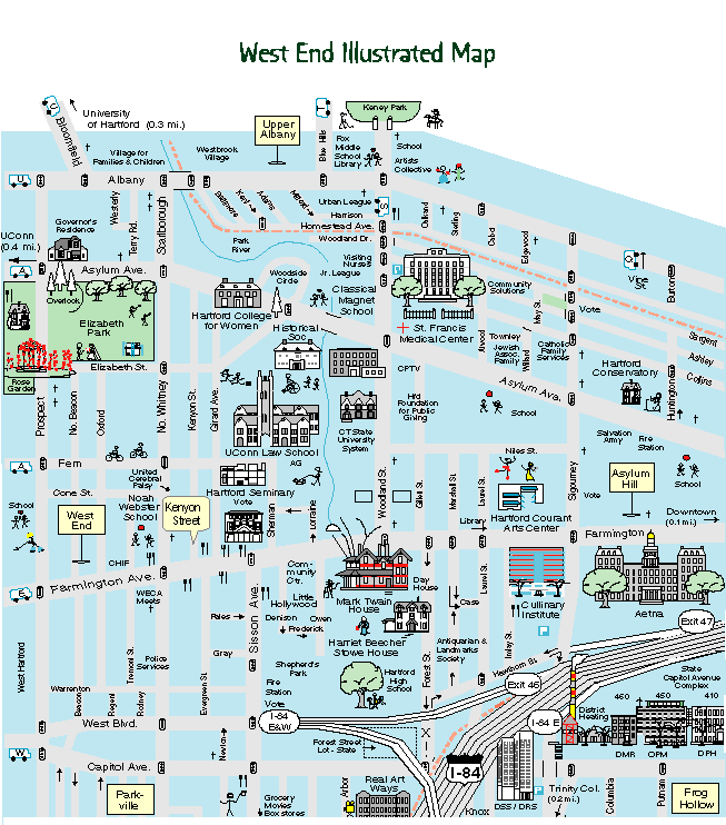
Print
West End Illustrated Map
Use your printer's quality setting for best
results: (8.5" x.11", portrait)
©
C. West Designs
West
End
Street Map
West End Civic Association (WECA)
The civic association has been a bulwark of
action throughout the decades -
advocating for the community, keeping us vital and strong.
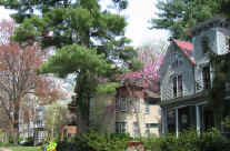
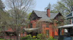
The West End is the essence of a great city neighborhood because
we work at it.
Print
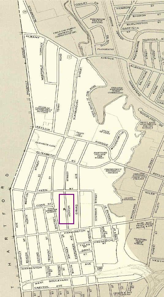
West End street map
(8.5" x 11")
Map from Hartford
Architecture, Hartford Architecture Conservancy, 1980. Map is
to scale.
Click on map
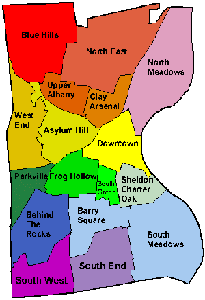
Asylum Hill
Barry Square
BehindTheRocks
Blue Hills
Clay Arsenal
Downtown
Frog Hollow
N. Meadows
NoEast
Parkville
Sheldon Charter Oak
South End
South Green
South Meadows
South West
Upper Albany
West End
Print
Hartford neighborhood map
Map from City of
Hartford.
Hartford
Historic Districts
Historical Hartford Maps: 1636
1869 1890 1912
Click on map
for Hartford districts on the National Register of Historic
Places:
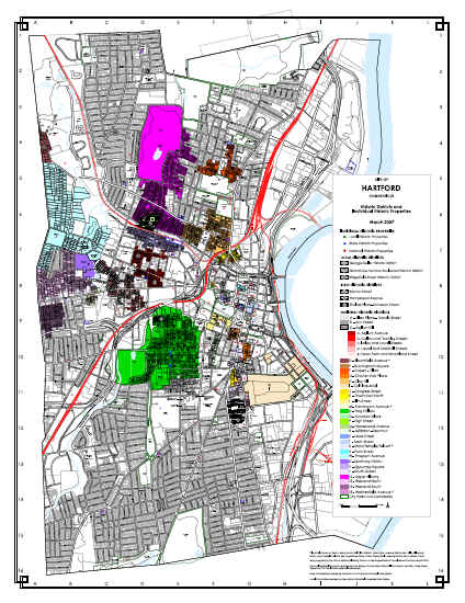
Map from City of
Hartford.
Hartford
Rooming Houses - 1957
Historical Hartford Maps: 1636
1869 1890 1912
1957: 125 Rooming Houses in the West
End:
82 North of Farmington Ave (R-7 & R-8)
and
43 South of Farmington Ave (R4, R5 & R6):
2014:
5 Rooming Houses in the West End:
2 North of
Farmington Ave
and
3 South of Farmington Ave.
and 22 Rooming Houses
City-Wide
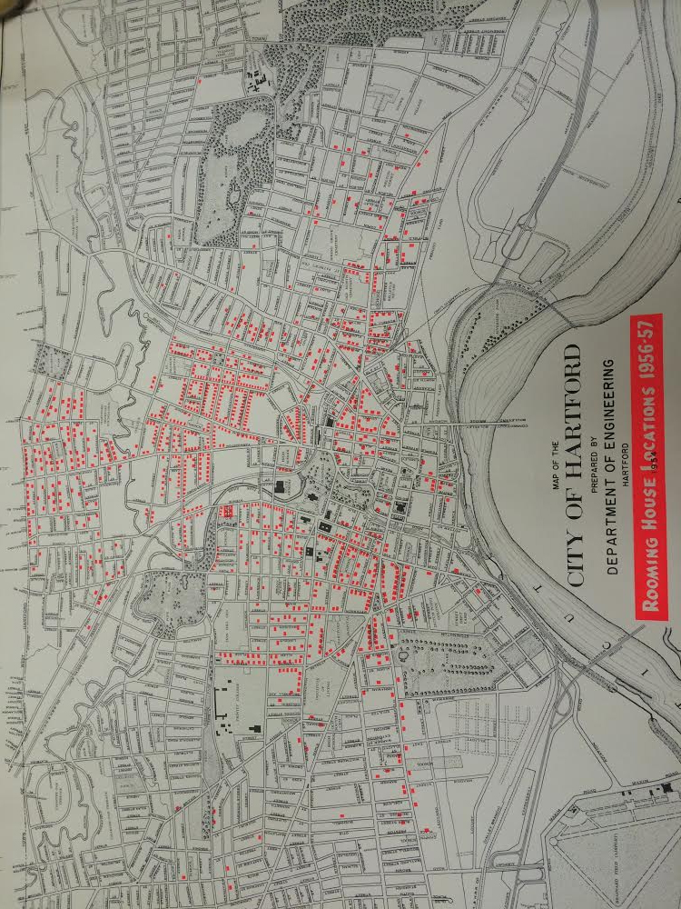
Map courtesy of John Gale.
|